


The Firth of Forth Sentinel: Geomorphology, Marine Logistics, and Coastal Ecology of Yellowcraig Beach
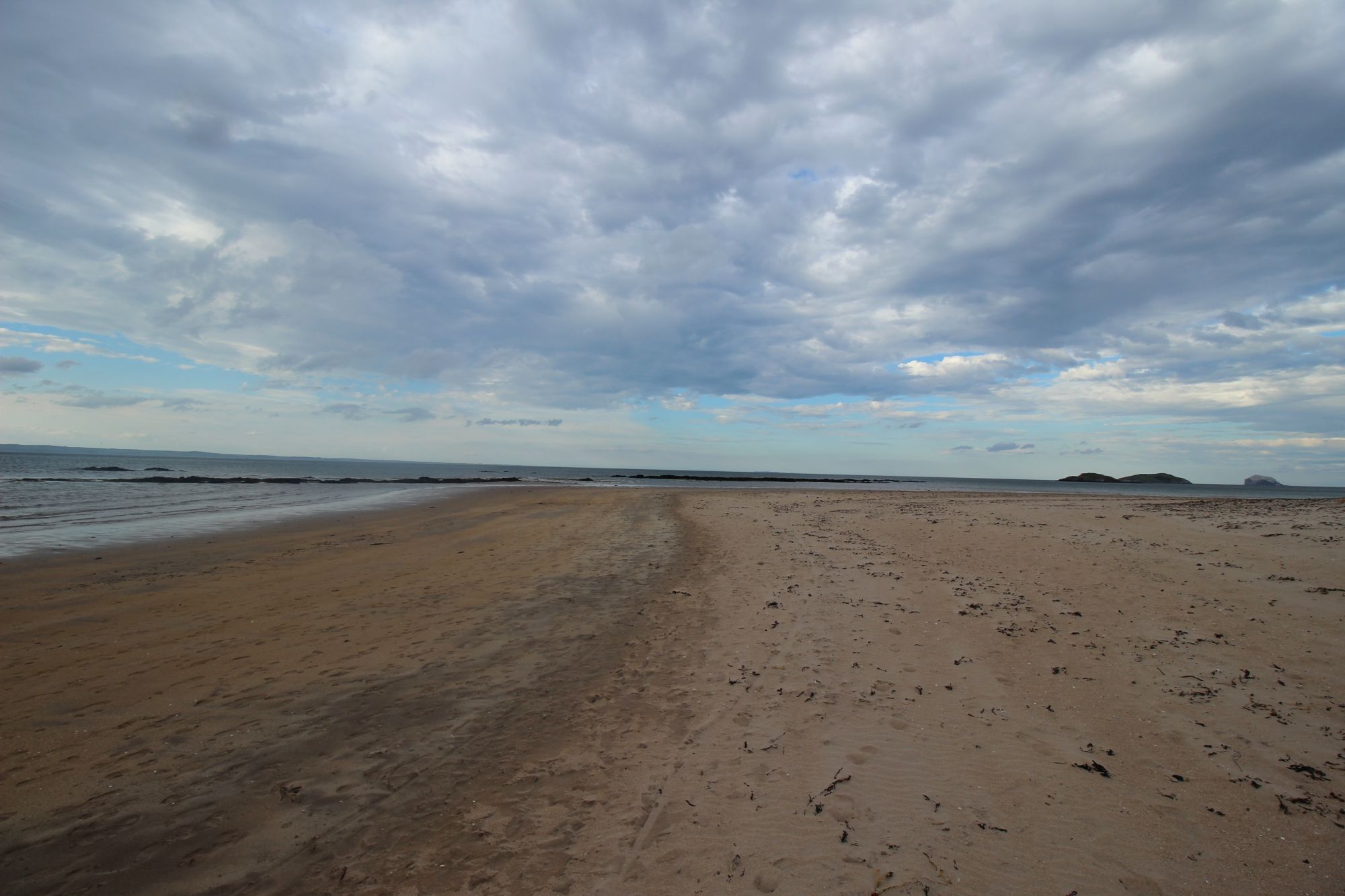
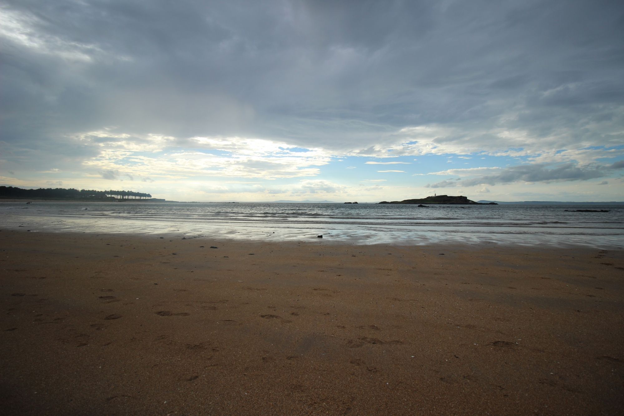
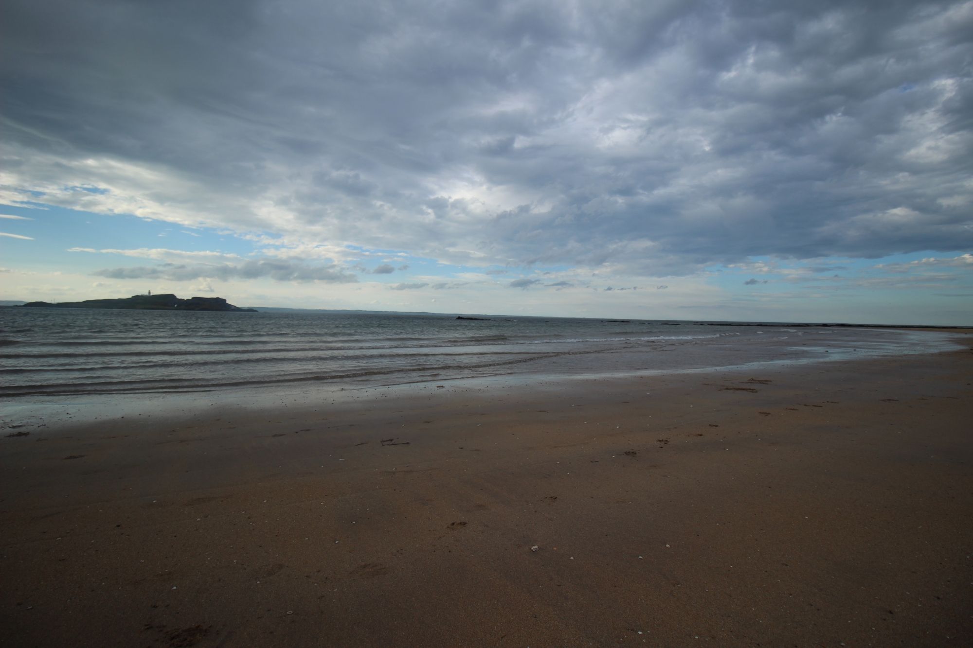
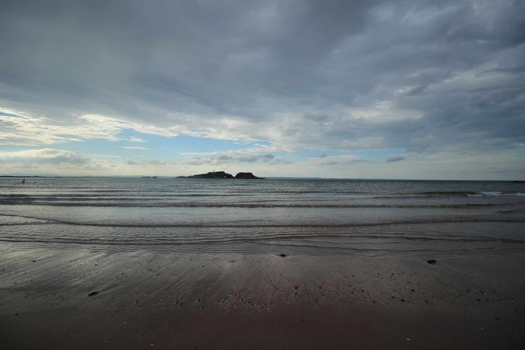
Situated on the southern shore of the Firth of Forth in East Lothian, Yellowcraig Beach—often locally referred to as Broad Sands—is a prominent sedimentary shoreline defined by its expansive tidal flats, dune systems, and direct visual access to the iconic volcanic island of Fidra. Unlike the jagged cliff-lines of the northern Scottish coast, Yellowcraig represents a mature, low-energy depositional environment, serving as a critical habitat for coastal avifauna and a vital component of the John Muir Way. Managing this site requires a nuanced understanding of tidal hydro-geology, the conservation of sensitive dune-slacks, and the logistical infrastructure required to support high-volume recreational access in a protected maritime zone.
The Structural Blueprint: Depositional Geomorphology and Tidal Dynamics
The physical character of Yellowcraig is the result of long-term sediment transport processes within the Firth of Forth estuary:
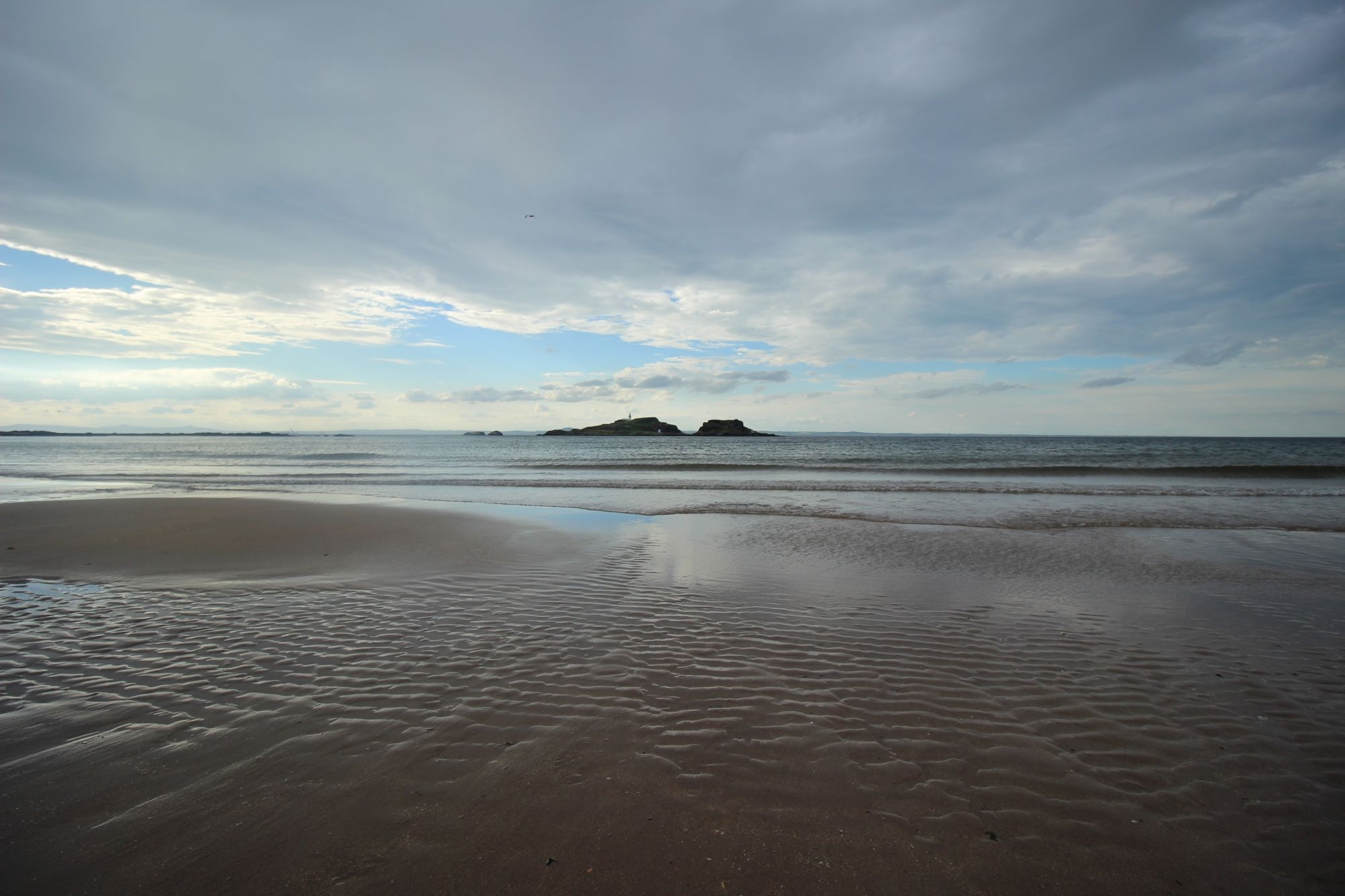
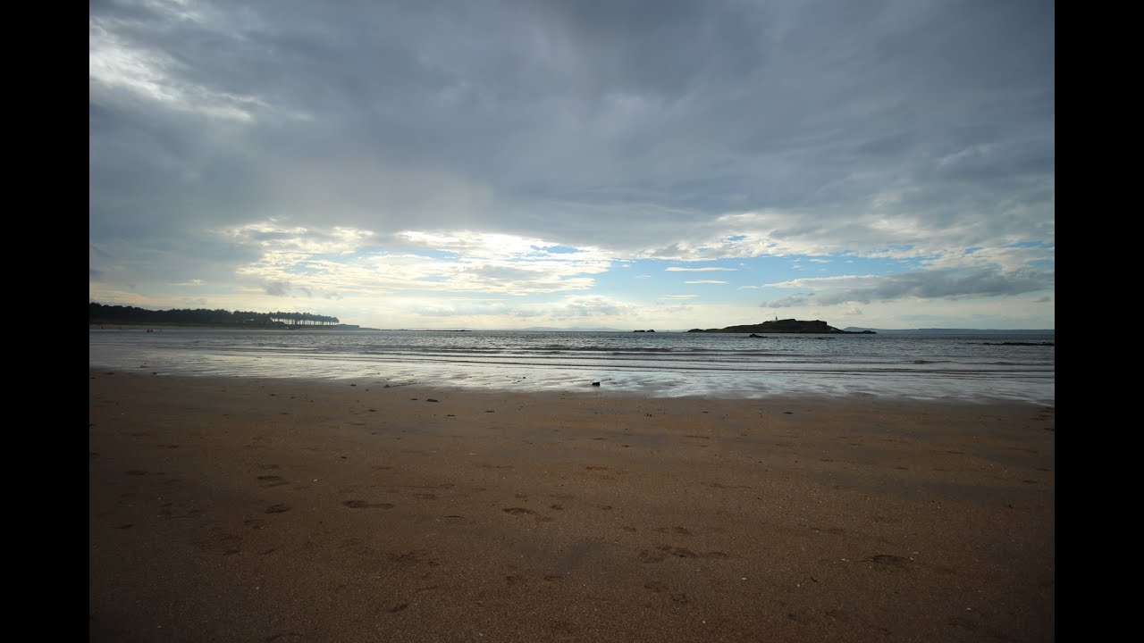
- The Depositional Basin: Yellowcraig functions as a wide, sandy depositional basin where the interplay between the North Sea's tidal currents and the freshwater outflow of the Forth has resulted in an accumulation of fine, golden-hued sand. This substrate is highly dynamic; the beach profile shifts significantly during seasonal storm cycles, creating a continuously evolving landscape.
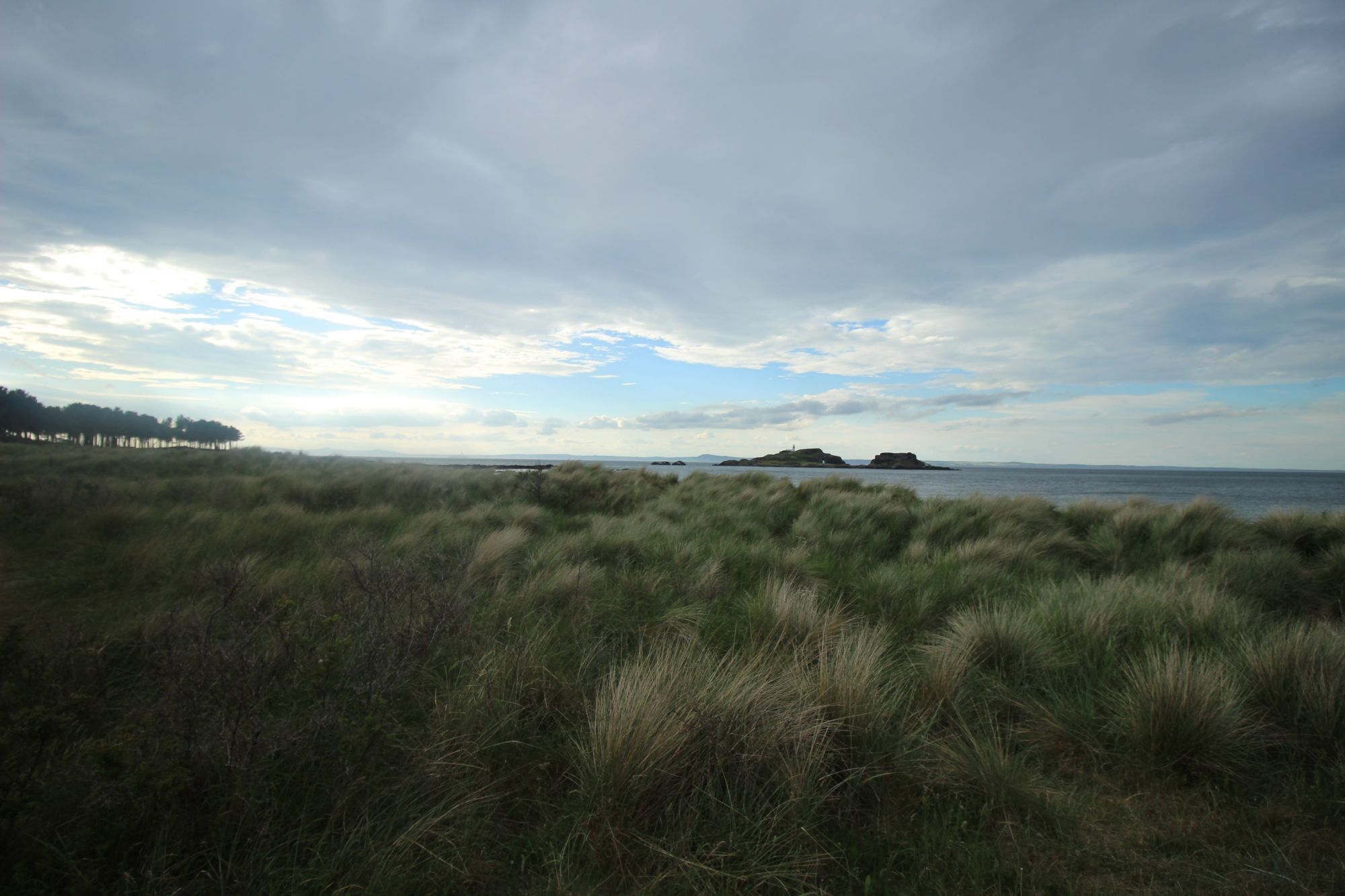
- Fidra and Volcanic Lithology: The horizon is dominated by Fidra, an uninhabited volcanic plug composed of phonolitic trachyte. This island—which famously inspired Robert Louis Stevenson’s topography in *Treasure Island*—serves as a natural breakwater, dissipating incoming swell before it reaches the Yellowcraig shore. This geological formation is essential for maintaining the beach's current sedimentary stability.
- Dune-Slack Ecosystems: Behind the strand lies a complex system of embryo, fore, and fixed dunes. These systems are stabilized by *Ammophila arenaria* (marram grass), which anchors the mobile sand. The "slacks"—low-lying hollows between the dunes—provide a unique, seasonally flooded wetland habitat that supports rare flora, including dune pansies and diverse orchid species.
The Cultural Blueprint: Strategic History and Maritime Heritage
The historical significance of Yellowcraig is tethered to the strategic navigation of the Firth of Forth:
- Fidra Monastic and Defensive History: Fidra Island, visible from the beach, contains the ruins of a twelfth-century chapel dedicated to St. Nicholas. In subsequent eras, the island’s defensive utility was recognized through the construction of Victorian-era lighthouse infrastructure. The beach itself served as a logistical staging ground for maritime traffic monitoring the entrance to the Forth throughout the early modern period.
- Conservation and Recreation: Today, the beach is a key waypoint in the East Lothian coastal management strategy. It integrates historical land use with contemporary ecological conservation, acting as a "living laboratory" for studying the effects of coastal change and sea-level rise on managed soft-sediment shorelines.
The Trail Blueprint: Logistical Access and Environmental Stewardship
Navigating the Yellowcraig site requires strict adherence to seasonal visitor management protocols to protect the integrity of the coastal biosphere:
- Staging and Infrastructure: The site is accessed via a dedicated road leading from the village of Dirleton. The parking infrastructure is engineered to contain high-volume recreational traffic; however, during peak periods, the capacity of the lot is strictly enforced to prevent overflow onto local secondary roads. Commercial amenities, including public sanitation and waste disposal, are integrated into the staging area to concentrate the human footprint.
- Path Stability and Dune Protection: The transition from the parking area to the shoreline is facilitated by a network of boardwalks. These structures are not merely for pedestrian comfort; they are critical for preventing the degradation of the dune systems. Walking off-boardwalk results in "blowouts"—large-scale erosion events where wind-scour removes the protective layer of vegetation, leading to the collapse of the dune face.
- Visitor Self-Sufficiency: Despite the managed nature of the beach, visitors must maintain a high level of environmental awareness. The Firth of Forth is a marine protected area; all refuse must be contained, and interaction with the sensitive coastal avifauna, particularly the ground-nesting species, is strictly prohibited. Information boards throughout the site delineate the zones where ecological protection takes precedence over recreational use.